


Raindrop size distribution effects on radar rainfall estimation and heavy-rainfall forecasts over orography
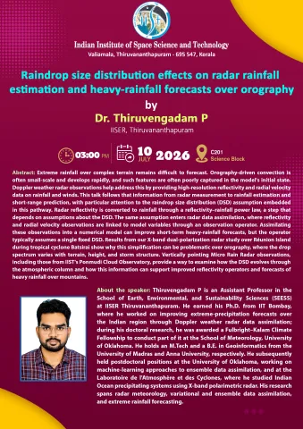
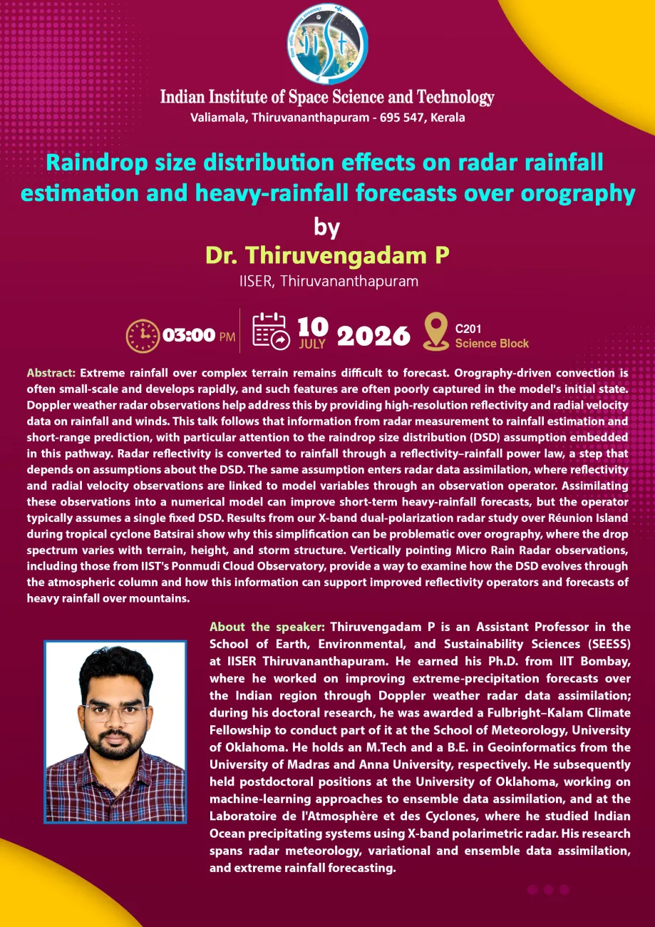
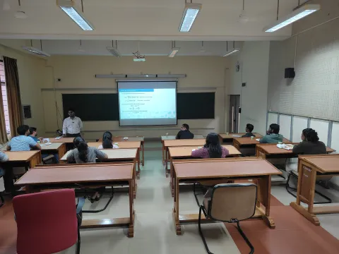
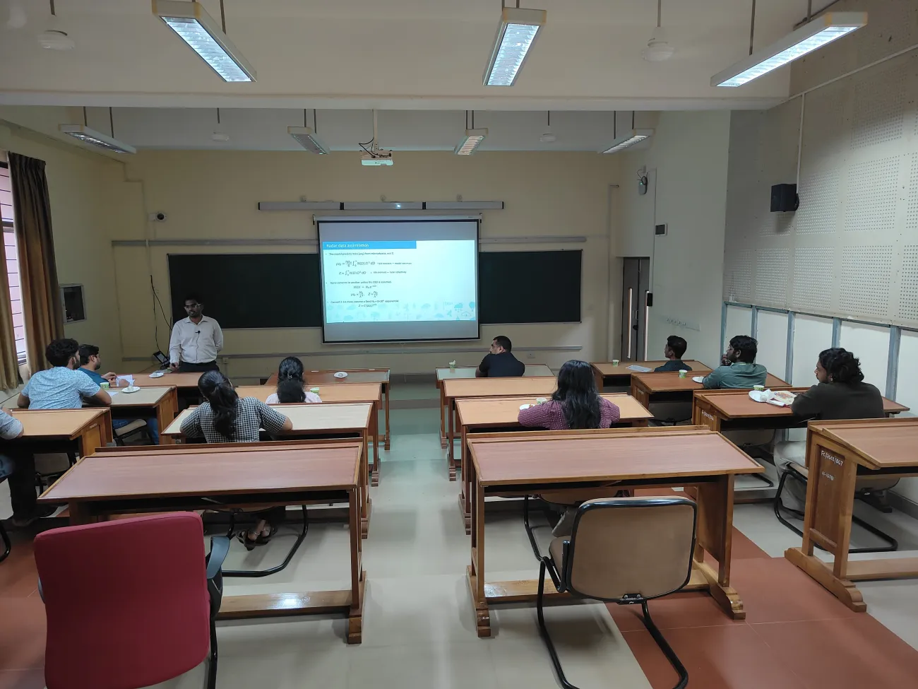
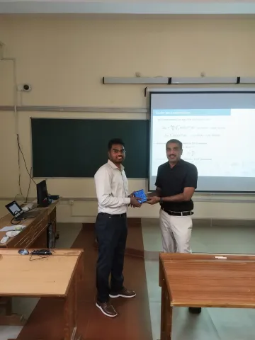
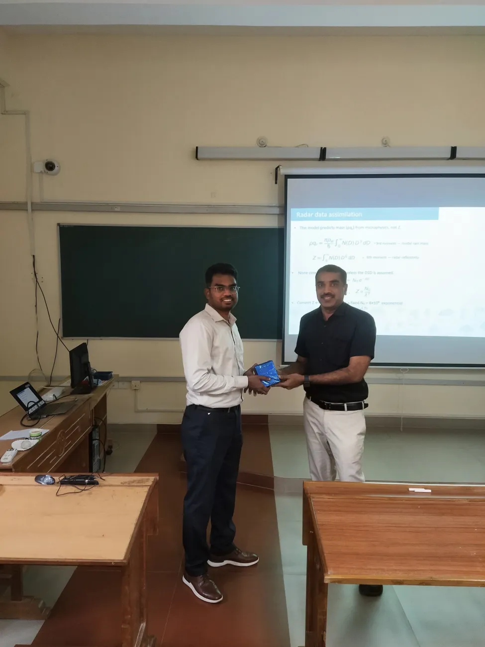
Dr. Thiruvengadam P, an Assistant Professor at IISER Thiruvananthapuram with an extensive research background in radar meteorology from IIT Bombay, the University of Oklahoma, and the Laboratoire de l'Atmosphère et des Cyclones, delivered a presentation on how raindrop size distribution affects radar accuracy and heavy rainfall predictions over mountainous regions. The presentation addressed the ongoing challenges of forecasting extreme rainfall over complex mountainous terrains, where rapid, small-scale convection is notoriously difficult for standard weather models to capture. Highlighted how Doppler weather radar fills these critical observational gaps by providing high-resolution reflectivity and radial velocity data on precipitation and wind patterns. A central focus was placed on the vital role of the raindrop size distribution (DSD) assumption throughout the pipeline from initial radar measurements to final short-range rainfall predictions. The talk demonstrated how Micro Rain Radar observations, including data from IIST's Ponmudi Cloud Observatory, track how DSD evolves through the atmospheric column to refine reflectivity operators.
Dr. Thiruvengadam P. from IISER TVM


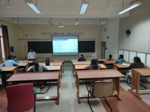
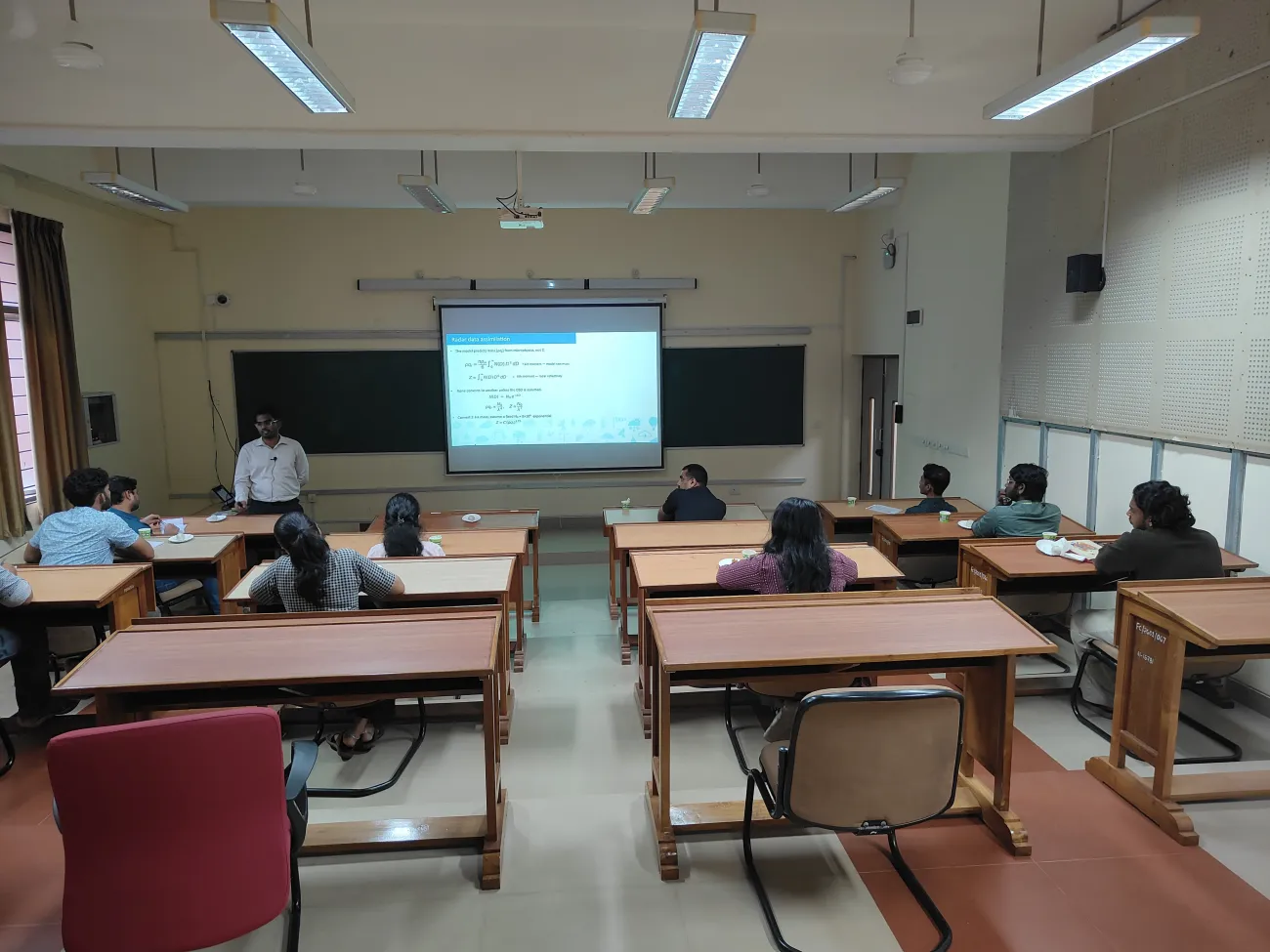
Venue
Contact Person
Dr P R Sinha
Event Details
-
Mode:In-Person