

GeoConnect@2025: Computations and Programming for Geospatial Analysis
Mon, 24 Nov 2025
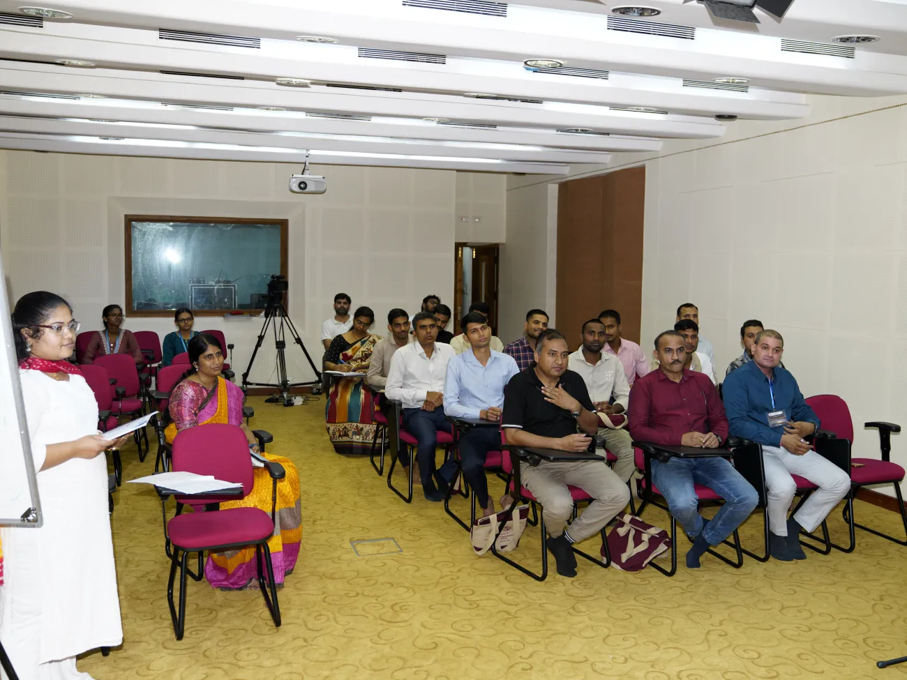
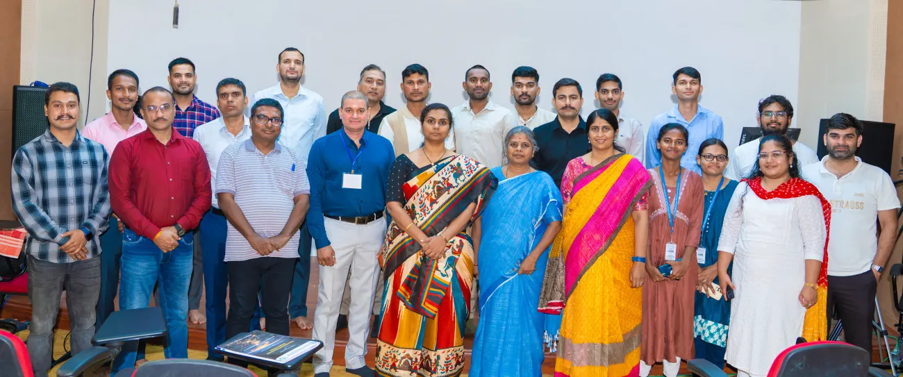
There are series of training programmes scheduled for the members from Central Armed Police Forces: BSF, ITB, CRPF. The one conducted is to give a hands on experience on the computations and programming requirementsin the field of Geoinformatics.


Event Details
-
Mode:In-Person